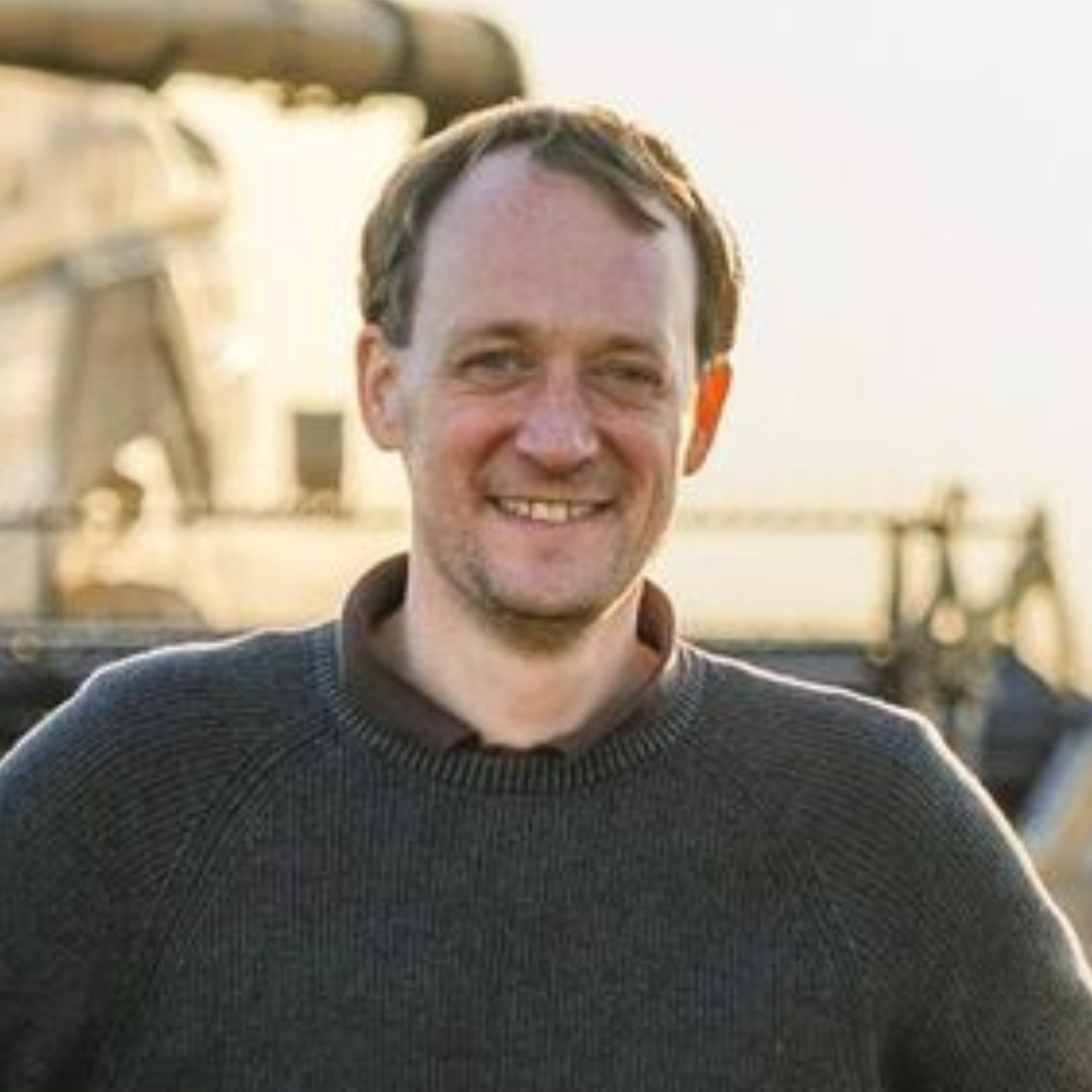
Konrad Harbort
Keynote: Green Efficiency in Agriculture
About Konrad
Konrad spent over 16 years of in practical agriculture in Germany and Australia experiencing and experimenting with technology to drive the industry forward.
During his time as farm manager, he constructed his own drones (UAVs) and used initial test flights to map damaged areas in arable land. After a few years of using various multicopters, he moved on to the first area model, which had significantly greater area coverage than the multicopters. The current model can now stay in the air for over three hours without landing and can thus map up to 450 hectares in one go.
He also work across all farms on digitisation and improving working methods on farm. This enabled him to implement various digitalization projects.
This includes:
- Networking an old seed drill, enabling seeding using application maps
- Construction and installation of a bespoke RTK base station for a fleet of machines and for mapping
- Construction of an RTK surveying device for referencing aerial photographs and surveying arable land, etc.
- Creation of orthophotos in fields with game damage and problematic weeds
- Centimetre-accurate mapping of drainage systems
- Area-specific application of pesticides and fertilisers based on drone and satellite images
- 3D surveying to calculate the sugar beet and corn yield of fields
- Creation of 3D models of fields and farm buildings
- Thermography for fawn detection and PV system inspection
- Creation of thermal orthophotos
)
)
)